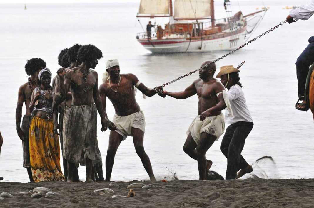
The Departmental Council announced in May the start of an atlas devoted to slavery in Reunion., “necessary tool for understanding how slavery impacted, in different areas, the territory, men and their memory », according to the community. The future collection of maps will make it possible to locate and give a spatial reading of historical facts. It will identify physical and symbolic places linked to slavery : old dwellings, browning places, places and objects of memory, tangible and intangible heritage, toponyms, resource centers…
The atlas will be digital and freely available online. It will be enriched as knowledge advances but could also be published in the form of a physical atlas.
“The realization of such a project is complex, underlines the Department. It requires scientific collaboration, cultural, technical and material support from a large number of partners. It also needs popular support. And in all these areas, of the state competition, communities, scientific and cultural institutions, foundations and private companies for sponsorship.”
The creation of the documentary corpus begins this year. The development of the cartography will begin in 2022, for the first contents to be put online the following year.


